
THE ROUTE FOLLOWS A NATURAL TRAIL WITH UNEVEN TERRAIN AND STEEP SECTIONS. IT IS NOT AN URBAN OR FORMALISED PATH, AND EXTREME CAUTION IS ADVISED.
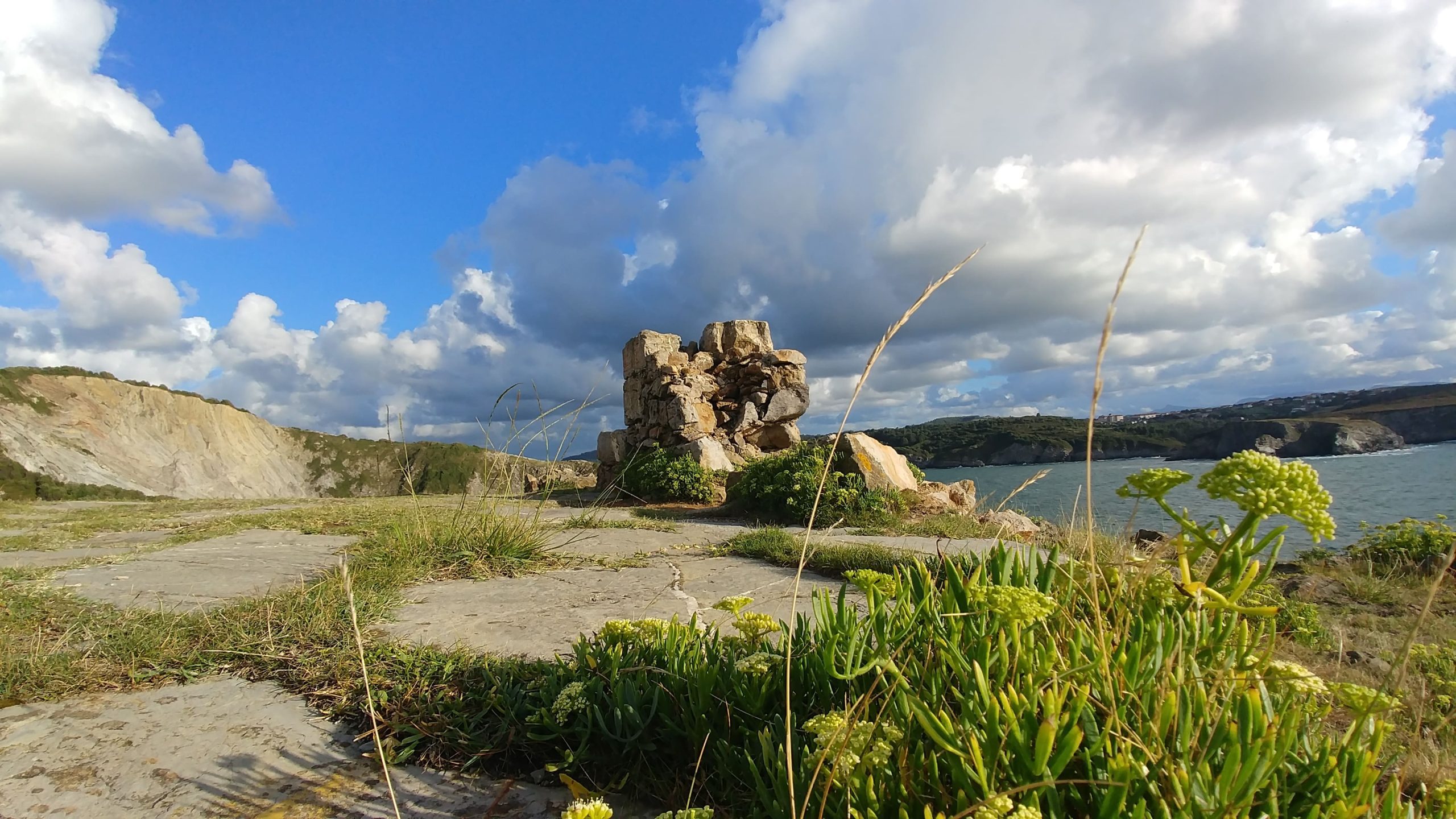
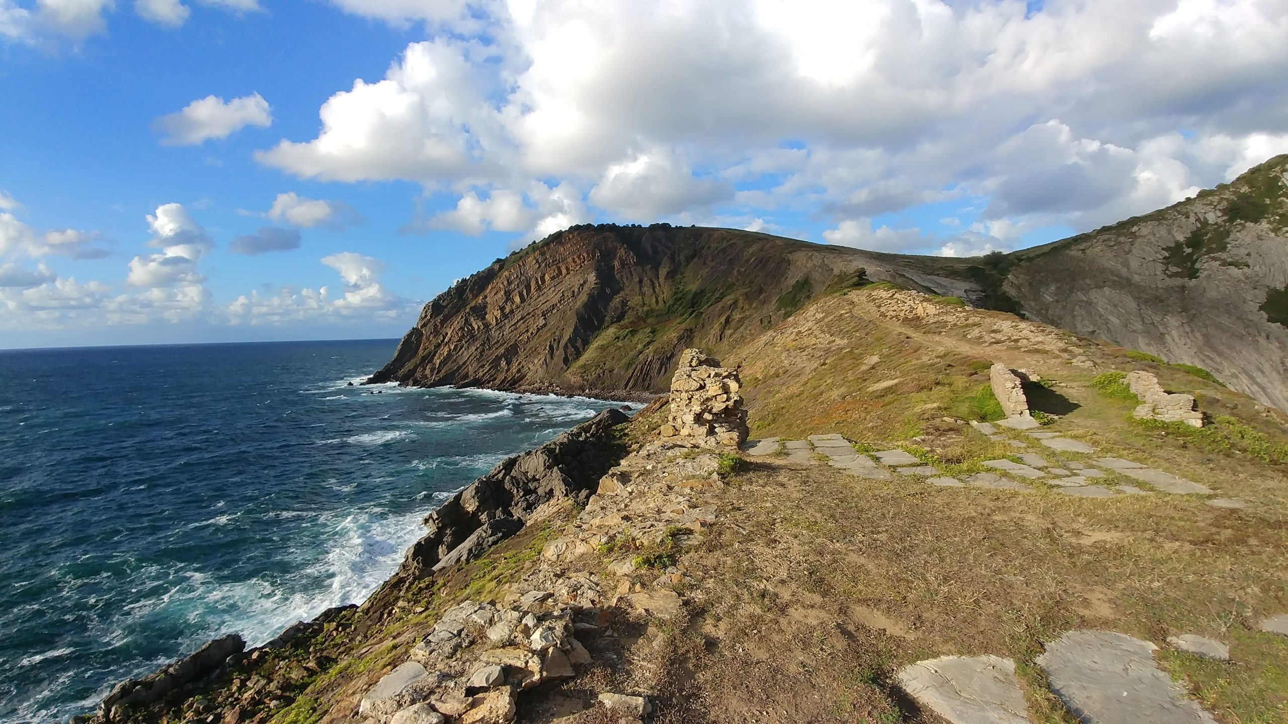
Discover the Askorriaga Fort in Gorliz, a coastal defensive construction, part of hiking trails with stunning sea views. At the Uztrikotze cape you can see the ruins of the Fort, with fantastic views of the cliffs. In his day surely it scared away more than one pirate like The Feared, from Espronceda’s oeuvre “La Canción del Pirata” (The Pirate’s Song), with his cannons. Today, however, only mounds of stones are scattered on the cape.
History
The Askorriaga Fort was part of the coastal military constructions designed to monitor and defend maritime access. Its strategic location controlled the bay entrance.
Architecture
Stone walls and remnants remain, showing how fortifications were built in natural landscapes.
Route and access
Accessible via trails from the beach, connecting with Mount Ermua, combining history and nature.
Cultural value
Beyond its military role, the fort is part of the historical memory of the region and serves as an educational resource for schools and families.
Interesting Data
The Askorriaga Pillbox, also known as Azkorriaga Pillbox or El Castillito Roto (The Broken Little Castle), was built in the eighteenth century. At that time it was not unusual to see English ships sailing in the area and, as prevention, they built the Askorriaga Pillbox.
The location was not chosen at random. The Uztrikotze cape was the best location so that the cannons of the time could guard the entrance of Gorliz Bay. In addition, it is also about 25 meters high on the cliffs and located on one of the most salient points. The situation was very good to see the boats quite miles away and even shoot them with the cannons when they were close enough.
The advance in armaments caused the cannons of the fort to become obsolete and the building has deteriorated to this day.
Check here how to get there and all our routes from Gorliz, which will help you to visit the most emblematic points of the municipality: the old Gorliz sanatorium, located on Gorliz beach, the Gorliz lighthouse, as well as the interesting bunkers from the 1940s.
Video guide
Do you want to see its spectacular location?
Transcription of video and audio
The ruins of the Fort of Askorriaga from the 18th century are located at the tip of Uztrikotze.
They were built in the best location at the time to guard the entrance to Gorliz Bay since it was not uncommon to see English ships sailing through the area.
The situation was very good to see the ships from several kilometers away and even, when they were close enough, to shoot them with the cannons.
Advances in armaments have made the fort’s guns obsolete and the building has deteriorated to this day.
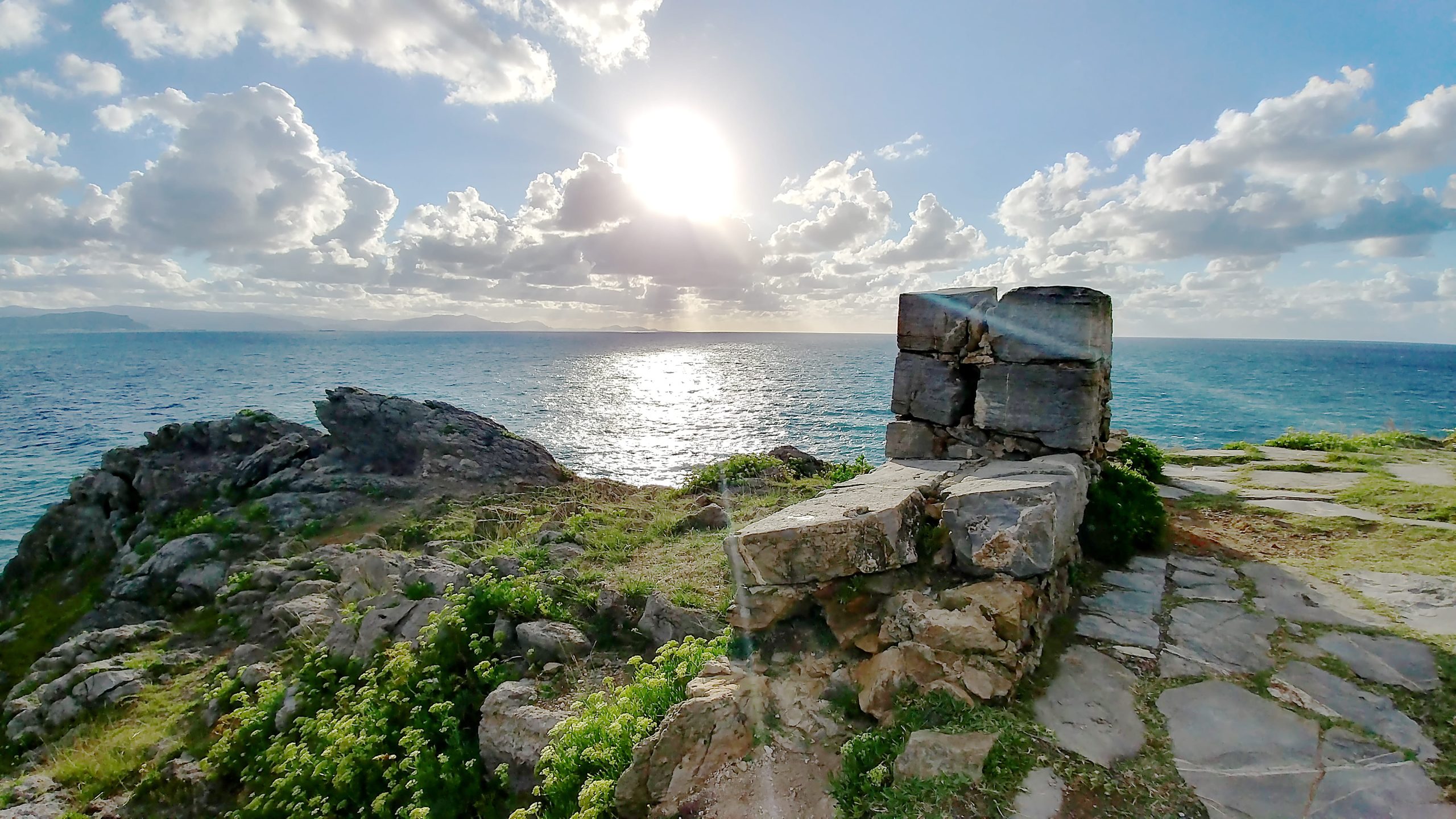
If we sit on the wall of the fort, looking west we have a view that can reach Cape Ajo in Santander and of course the Abra.
Routes that pass through the castle

CIRCULAR ROUTE AROUND THE ASKORRIAGA FORT
Distance: 3.3 km, Time: 0:55 hrs, Climb: 200 m., Category: Demanding
This route is somewhat more demanding as it combines easy paved paths and uneven terrains. The route starts in the stairs next to the information panel of the dunes and then goes upwards along the coast to descend towards the ruins of the Askorriaga. The fort of Askorriaga was built in the 18th century and is popularly known as ‘The Little Broken Castle’. From here, the path continues up to a short steep hill until Larragan and then returns downhill on a comfortable paved pathy until the final point.

ROUTE TO THE ERMUA THROUGH THE ASKORRIAGA FORT
Climbing Ermua via the “Castillito” (fort), going down to Armintza and returning along the GR 280 Trail
This is a more demanding route than the previous two. That is because you will climb two small peaks before reaching the lighthouse and then climb up Ermua, which means a greater cumulative elevation gain, and also because you will extend the route by descending to Armintza and returning to Gorliz along a section of the GR 280 Trail, which means walking a much greater distance. Nevertheless, it is not too much for hikers who are relatively used to mountain walks, bearing in mind that the return to Gorliz from Armintza is very quiet with no demanding climbs.
Duration: 3 hours 10 min.
Cumulative elevation gain: 537 m
Distance: 15.5 km
Difficulty: Moderate in terms of distance and cumulative elevation gain.

CIRCULAR ROUTE VIA THE ASKORRIAGA FORT
Circular route from Gorliz through Astondo via the lighthouse, Ermua Mendi, Armintza, Urizarmendi, Andraka, the Plentzia estuary, the Gandia neighbourhood and back to Gorliz
I must warn you that this is one of the longest routes in the guidebook and the one with the second highest cumulative elevation gain. It will take about four and a half hours without stops for relatively well-trained hikers. If you take it a little slower – and on such a long route it is necessary to stop for a drink and something to eat, admire the scenery, etc. – you can do it in five and a half hours.
Duration: 4 hours 15 minutes
Distance: 21.6 km
Difficulty: Moderate–High (due to its length abd the two ascents up Ermua and Urizarmendi)
Cumulative elevation gain: 786 m

Route round the outskirts of Gorliz
Before starting this route, we should point out that, strictly speaking, it is impossible to go all the way round Gorliz due to the non-existence of paths or tracks that run as close as possible to the boundaries of the town. However, we have tried to get as close as possible, although passing through parts of neighbouring municipalities or straying relatively far away from the geographical boundaries of the town is unavoidable for the sake of the efficiency of the route.
Total time: 3 hours 45 min.
Distance: 18.35 km
Cumulative elevation gain: 543 m
Difficulty: Medium, due to the distance

LONG CIRCULAR ROUTE
Long circular route from Gorliz, going up Ermua and Urizarmendi, Andraka, Butron Castle, Urduliz, Barrika cliffs, San Telmo, Plentzia and back to Gorliz
This is without doubt the longest circular route in this guide. It is well over 30 km and takes just over 7 hours to complete, with a cumulative elevation gain of almost 900 m, which, bearing in mind that it runs through this area of Uribe Kosta where there are hardly any large mountains, is a big deal. It is a typical “leg breaker”, recommended only for experienced people who are used to several hours of walking. Of course, another option is to do the route in two days, dividing it into two stages. Doing that makes the challenge a little more manageable.
Total time: 7 hours 30 min.
Distance: 34 km
Cumulative elevation gain: 900 m
Difficulty: High

ROUTE ALONG THE CLIFFS PASSING BY THE “CASTILLITO”
The seven small peaks from Astondo to Armintza
This is a route for the brave, for experienced mountain people who don’t mind suffering for a while crossing relatively difficult stretches at the expense of having at almost all times spectacular views in areas very little frequented. We will always go close to the abysses that mark the cliffs and that fall with maximum verticality to the resounding sea that can be seen below.
Total time: 5 hours
Distance: 15,7km
Cumulative elevation gain: 675 m
Difficulty: Moderate


