
ACCESS FROM GORLIZ IS TEMPORARILY CLOSED.
Explore the Gorliz Bunkers, historical coastal defense remnants, on family-friendly walking routes with views of the Cantabrian Sea.
In Bizkaia you can find numerous vestiges of the Civil War and one of them is the Iron Belt of Bilbao. With this name are called the tunnels and firing posts built around Bilbao and on the coast of Bizkaia. The Battery of Gorliz Coast has a similar typology although it was built in the decade of the 40’s and it is not part of the “Cinturón de Hierro” ( Iron Belt).
Architecture and design
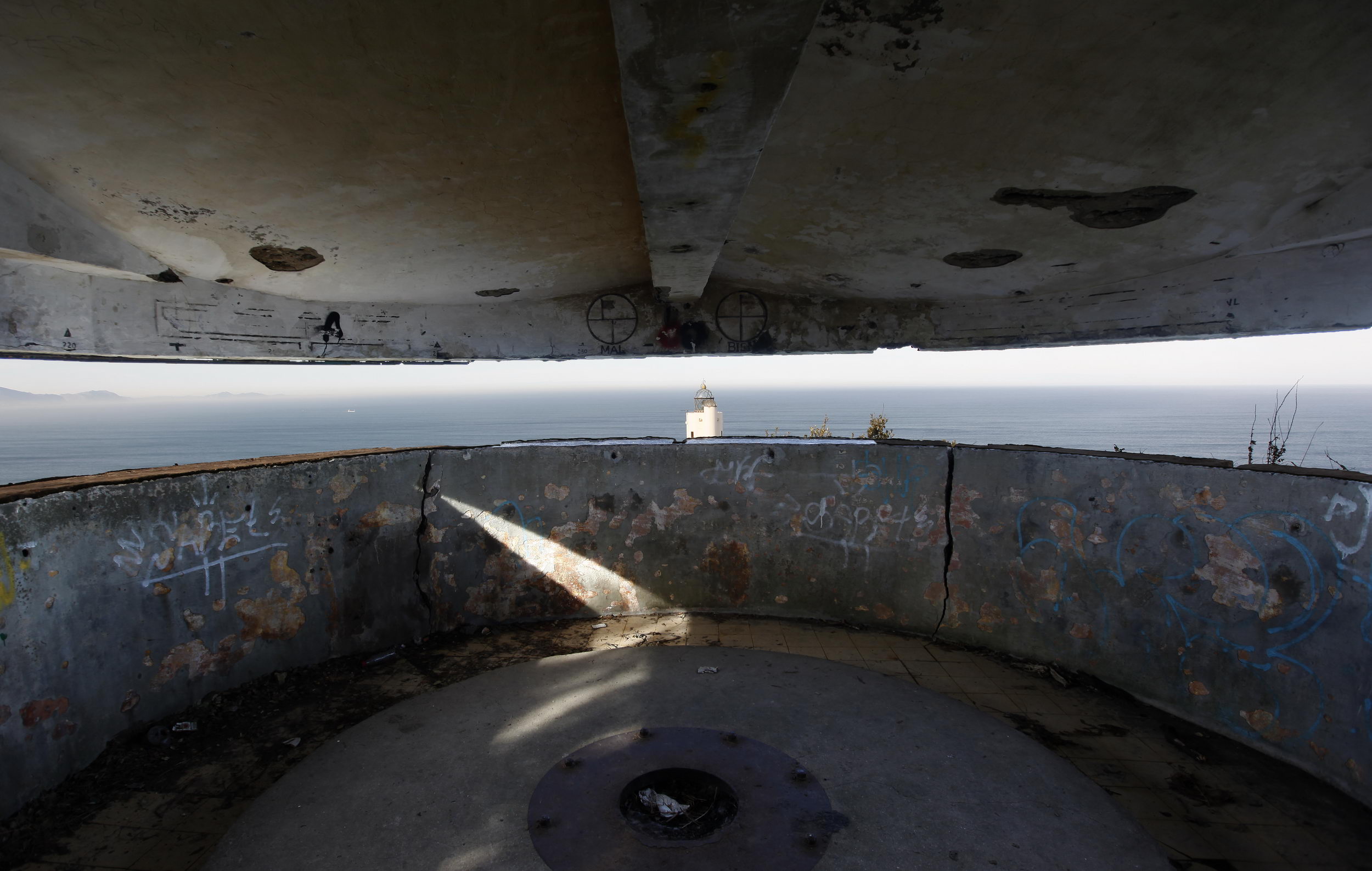
The bunkers retain original concrete structures and interior passages, showcasing the military engineering of the time. Some have natural viewpoints offering panoramic views of the sea and coast.
Historical
curiosities
Built strategically to monitor potential landings, they were part of a defensive network along the entire Bizkaia coast.
Flora
and fauna
Native plants and seabird species grow among the bunkers and nearby dunes, providing opportunities for nature observation and photography.
Educational
activities
Visiting the bunkers can be an educational experience for children, learning about history, geography, and coastal conservation.
Why was it built?
There are many who ignore the existence of bunkers but the Iron Belt is well known among the inhabitants of the Basque Country. As a symbol of the Franco regime, this set of underground galleries and firing posts were built after the Civil War with slave labour, that is, with the prisoners of the defeated side.
After the European victory of the Allies in World War II, Franco feared that the Allies would overthrow his government by declaring war on him and that is why he built this line of defence. However, the attack never happened.
Construction
In Gorliz, this group consists of several concrete firing posts. All of them are located on the hill downwards and, except the one at the top, they are joined by a network of underground galleries that they would be used to move from one post to another while remaining hidden.
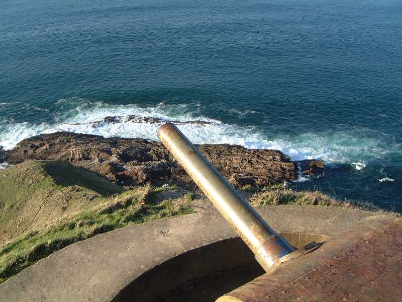
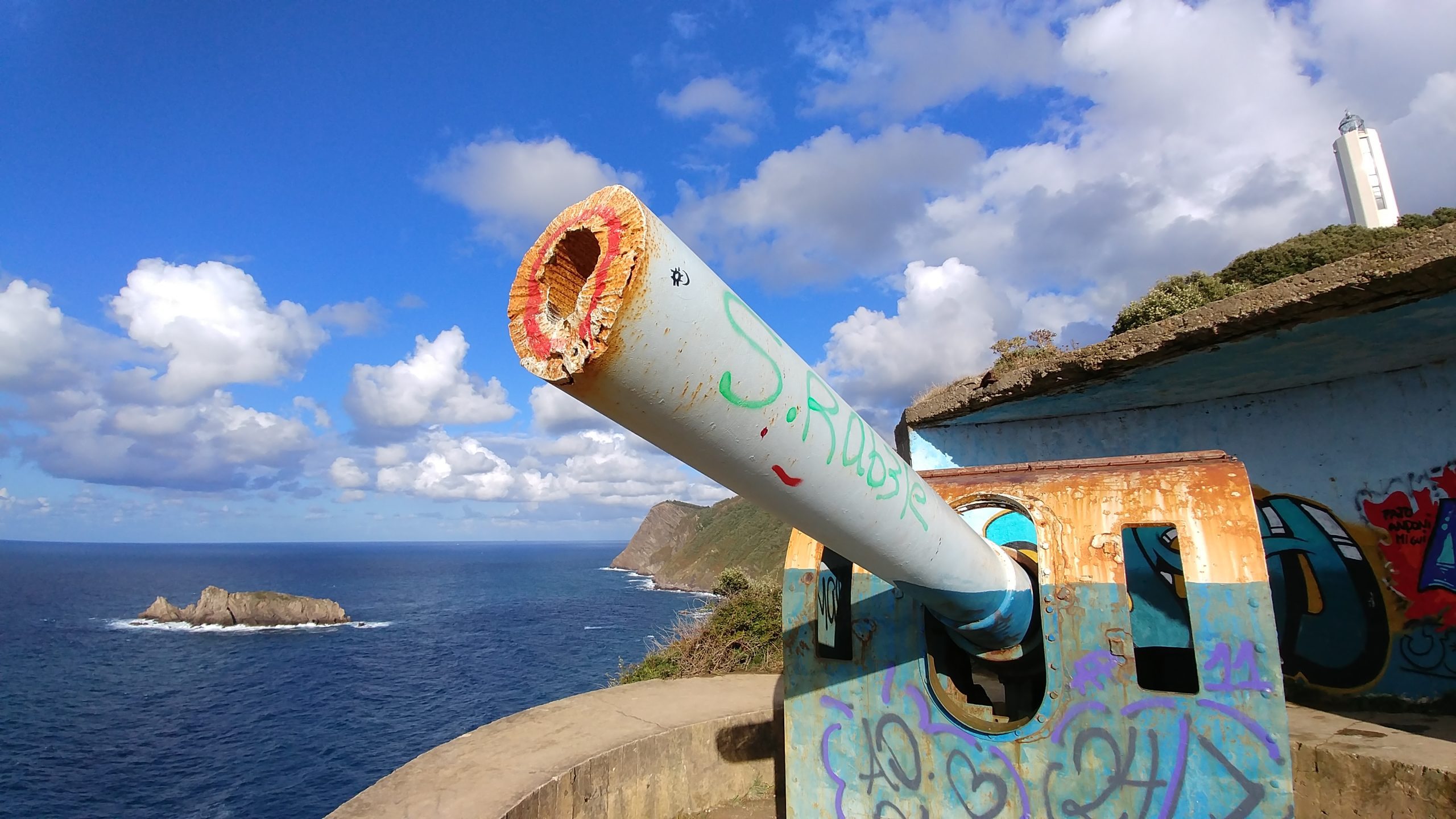
Nowadays, only one of the three cannons remains.
Video guide
Discover this hidden place around the lighthouse.
Transcription of video and audio
Approximately half an hour from the beach by foot, we find Gorliz’s coastal battery on the edge of a cliff. The coastal battery is composed of several bunkers and cannons that were built in the 40s.
Presently only one of the cannons remains on site as well as a large part of the network of underground galleries that connect the bunkers. They were prepared to resist an air attack thanks to its concrete structure although finally there was never a need to use them. Their purpose was to form the first line of defense against a possible attack from the north.
From the highest point of the batteries at Cape Billao and at high altitude above sea level, one could control the aerial and maritime landscape and also see Billao Island.
Routes

ROUTE TO BUNKERS INLAND
Distance: 6.1 km, Time: 1:40 hrs, Climb: 287 m., Category: Demanding
This interesting and easy route explores the different areas between Astondo and Cape Billano. On this route you will discover Gorliz Lighthouse, located 165 metres above sea level. You can observe the beautiful Billao Island from the observatory at the base of the lighthouse. The lighthouse was inaugurated in 1990 and, therefore, it is one of the most modern lighthouses in the Iberian Peninsula. It is 21 metres high and the system is completely automatic. Its beam travels 29 miles into the Bay of Biscay.

Climbing Ermua via the “Castillito” (fort), going down to Armintza and returning along the GR 280 Trail
This is a more demanding route than the previous two. That is because you will climb two small peaks before reaching the lighthouse and then climb up Ermua, which means a greater cumulative elevation gain, and also because you will extend the route by descending to Armintza and returning to Gorliz along a section of the GR 280 Trail, which means walking a much greater distance. Nevertheless, it is not too much for hikers who are relatively used to mountain walks, bearing in mind that the return to Gorliz from Armintza is very quiet with no demanding climbs.
Duration: 3 hours 10 min.
Cumulative elevation gain: 537 m
Distance: 15.5 km
Difficulty: Moderate in terms of distance and cumulative elevation gain.

Circular route from Gorliz through Astondo via the lighthouse, Ermua Mendi, Armintza, Urizarmendi, Andraka, the Plentzia estuary, the Gandia neighbourhood and back to Gorliz
I must warn you that this is one of the longest routes in the guidebook and the one with the second highest cumulative elevation gain. It will take about four and a half hours without stops for relatively well-trained hikers. If you take it a little slower – and on such a long route it is necessary to stop for a drink and something to eat, admire the scenery, etc. – you can do it in five and a half hours.
Duration: 4 hours 15 minutes
Distance: 21.6 km
Difficulty: Moderate–High (due to its length abd the two ascents up Ermua and Urizarmendi)
Cumulative elevation gain: 786 m

Route round the outskirts of Gorliz
Before starting this route, we should point out that, strictly speaking, it is impossible to go all the way round Gorliz due to the non-existence of paths or tracks that run as close as possible to the boundaries of the town. However, we have tried to get as close as possible, although passing through parts of neighbouring municipalities or straying relatively far away from the geographical boundaries of the town is unavoidable for the sake of the efficiency of the route.
Total time: 3 hours 45 min.
Distance: 18.35 km
Cumulative elevation gain: 543 m
Difficulty: Medium, due to the distance

LONG CIRCULAR ROUTE
Long circular route from Gorliz, going up Ermua and Urizarmendi, Andraka, Butron Castle, Urduliz, Barrika cliffs, San Telmo, Plentzia and back to Gorliz
This is without doubt the longest circular route in this guide. It is well over 30 km and takes just over 7 hours to complete, with a cumulative elevation gain of almost 900 m, which, bearing in mind that it runs through this area of Uribe Kosta where there are hardly any large mountains, is a big deal. It is a typical “leg breaker”, recommended only for experienced people who are used to several hours of walking. Of course, another option is to do the route in two days, dividing it into two stages. Doing that makes the challenge a little more manageable.
Total time: 7 hours 30 min.
Distance: 34 km
Cumulative elevation gain: 900 m
Difficulty: High

The seven small peaks from Astondo to Armintza
This is a route for the brave, for experienced mountain people who don’t mind suffering for a while crossing relatively difficult stretches at the expense of having at almost all times spectacular views in areas very little frequented. We will always go close to the abysses that mark the cliffs and that fall with maximum verticality to the resounding sea that can be seen below.
Total time: 5 hours
Distance: 15,7km
Cumulative elevation gain: 675 m
Difficulty: Moderate


